LANDFORMS AND IT'S TYPE.

GEOGRAPHICAL LANDFORMS

The Palouse River runs through a canyon in southeast Washington. This canyon was probably formed by a combination of tectonic activity and erosion. Tectonic plate movement under the Earth can create landforms by pushing up mountains and hills. Erosion by water and wind can wear down land and create landforms like valleys and canyons. Both processes happen over a long period of time, sometimes millions of years.

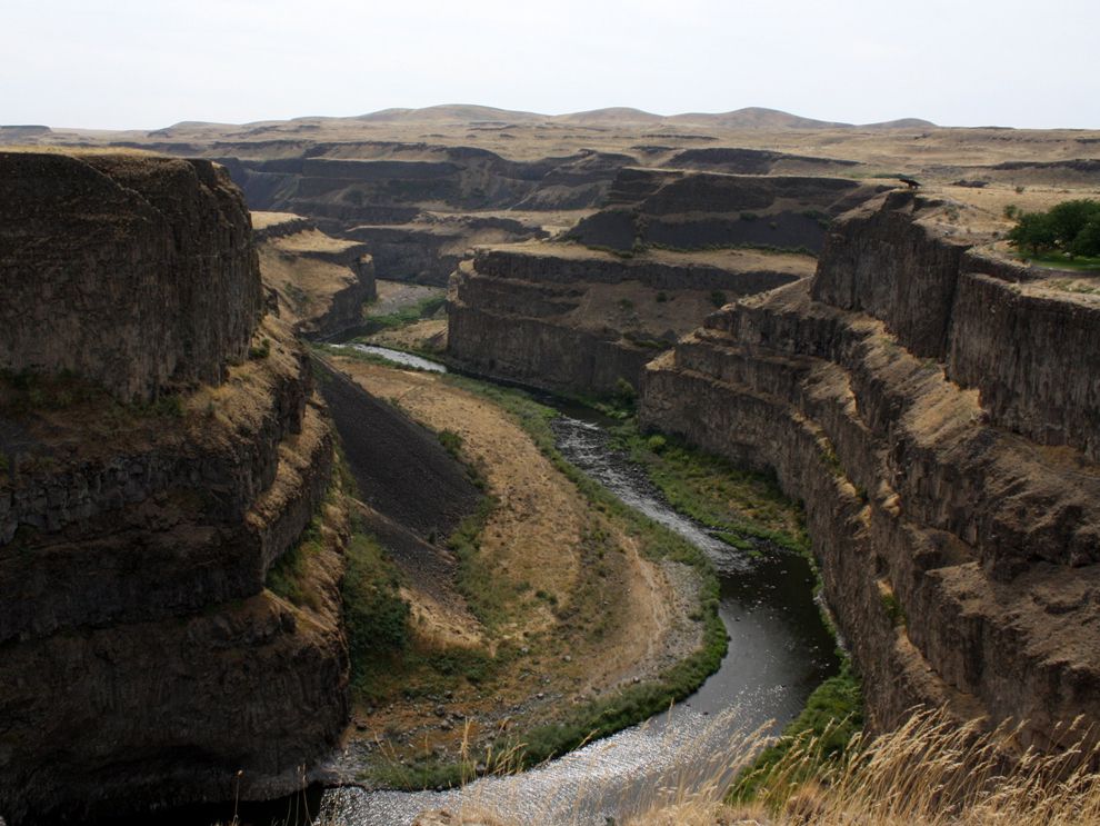
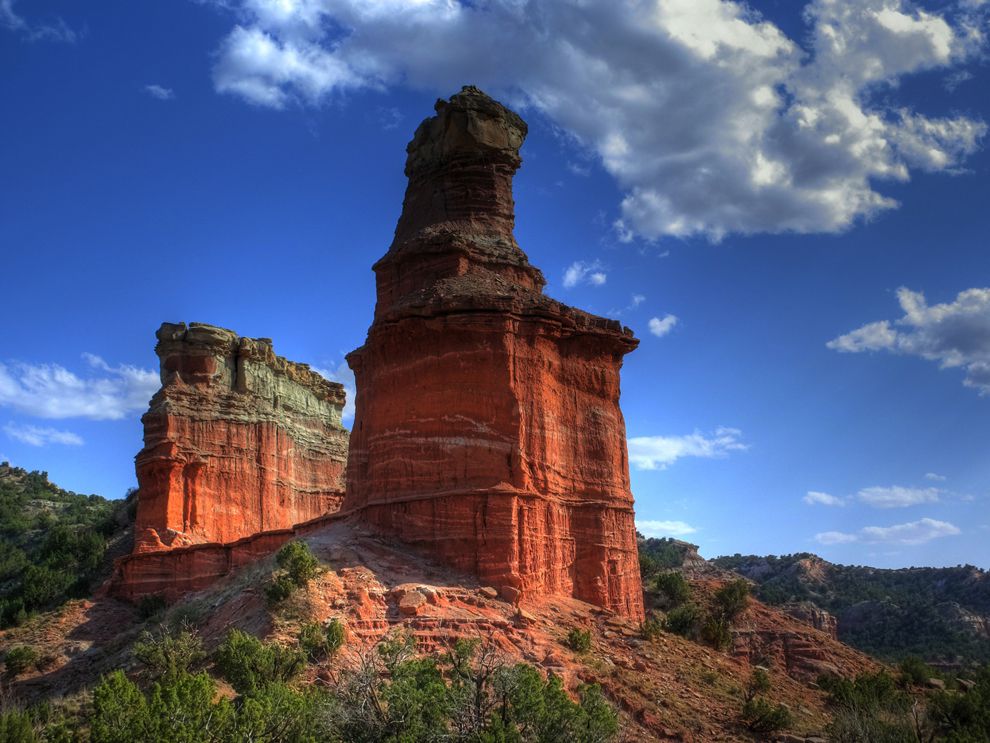
A landform is a feature on the Earth's surface that is part of the terraint, mountains,hills,platues and plains are the four major types of landforms. Minor landforms include buttes,canyons, valleys and basins. 

Tectonic plates movement under the Earth can create landforms by pushing up mountains and hills. Erosion by water and wind can wear down land and create landforms like valleys and canyons. Both processes happen over a long period of time, sometimes millions of years. 
This landform, in Palo Duro Canyon, Texas, is nicknamed the "Lighthouse." A landform is a feature on the Earth's surface that is part of the terrain. Mountains, plains, and buttes (like these) are all landforms.

It took 6 million years, in fact, for the Colorado River to carve out the Grand Crayons in the U.S. state of Arizona. The Grand Canyon is 446 kilometers (277 miles) long. 

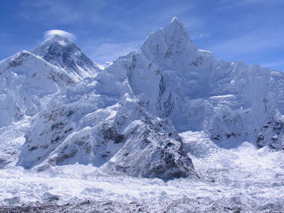
The highest landform on Earth is a mountain: Mount Everest in Nepal. It measures 8,850 meters (29,035 feet) above sea level. It is part of the Himalaya range that runs across several countries in Asia. 

Mount Everest, Nepal, left, is the highest landform on Earth. Mount Everest is part of the Himalaya range that runs through central Asia. This view of Mount Everest was taken from Kala Pattar, another Himalayan mountain.
Landforms can exist under water in the form of mountain ranges and basins under the sea. The Mariana Trench the deepest landform on Earth, is in the South Pacific Ocean.


VIDEO OF THE DAY -


     ~~~~~~~~END~~~~~~~

Comments